Deroche
Area description
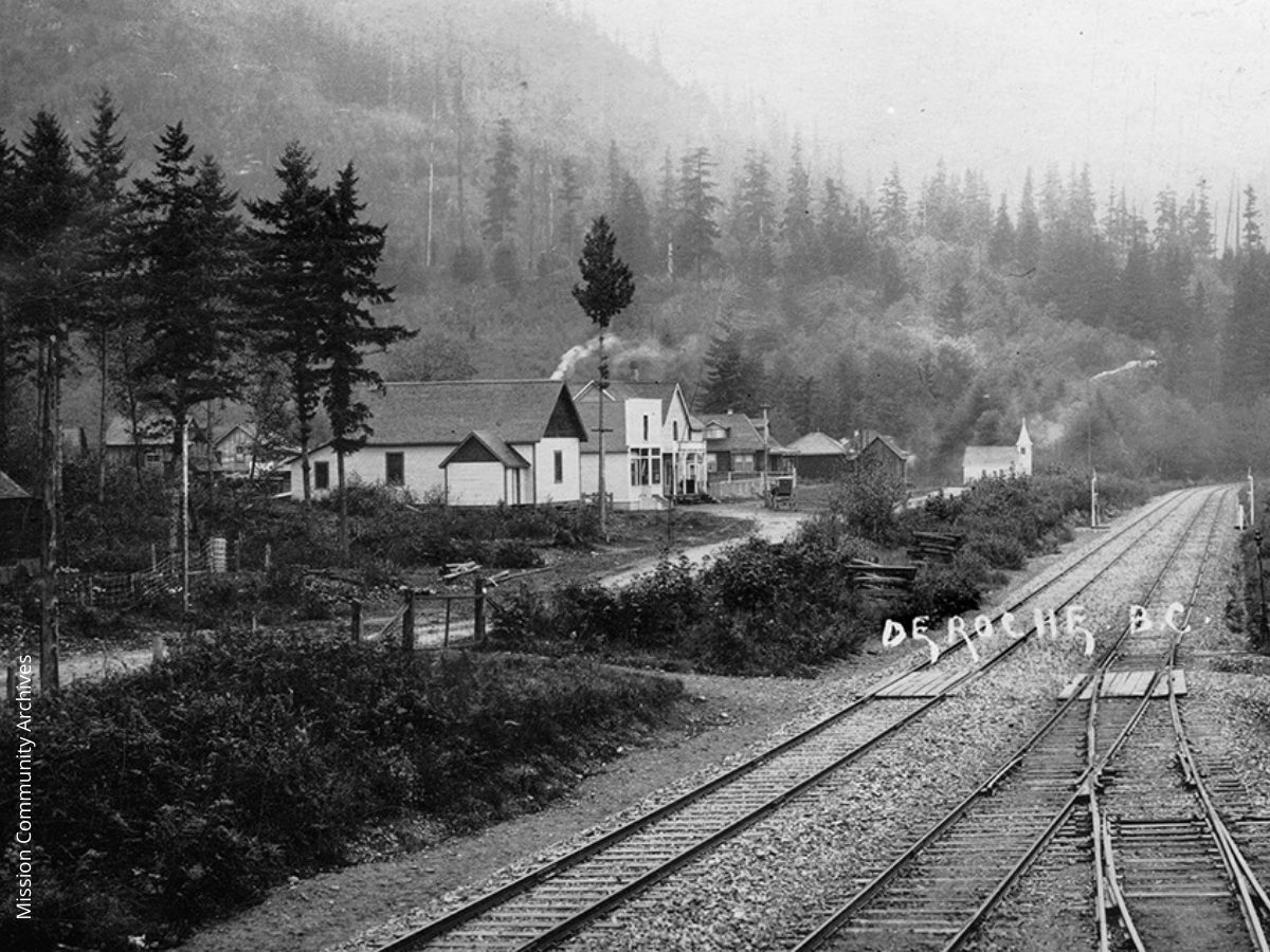
East of the flat farming fields of Nicomen Island, the landscape abruptly changes. The mountain ranges north of the Fraser are much closer to the water here, and the forested slopes of Nicomen Mountain loom dramatically over the small village that lies at their foot – Deroche unincorporated. The commercial centre of Deroche is geographically limited to the narrow strip of land between the mountains and the slough, but there are residential areas on the bench land above the village.
The earliest occupants were an Indigenous group called Nicomen, or Leq’á:mel, and their descendants continue to live here today. Lakahahmen I.R. 11 is right beside Deroche village, and the Deroche community hall stands on land leased from Leq’á:mel First Nation.
The first non-native settlers called the place ‘North Nicomen’, but in 1891 a post office was put in, and Deroche became the official name. The early CPR station, Nicomen, was half a mile west of today’s Deroche, and the CPR had a gravel quarry close beside it. Deroche village itself had no railway stop at all until 1911, when a large sawmill operated close to Nicomen Slough. By the 1920s Deroche had a flourishing main street, with a school, hall, general store and three churches. Today most of these buildings are gone, and Deroche is little more than a quaint village on a busy highway.


